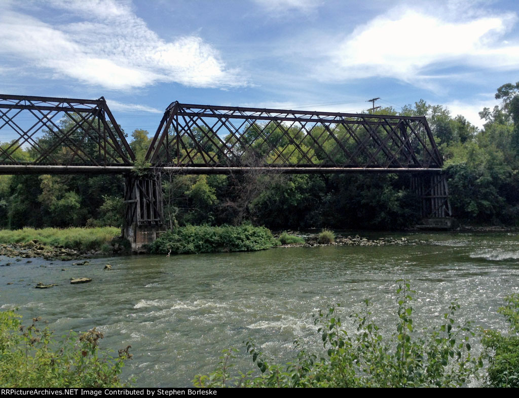
| Looking north from the west bank (ex-MILW branch, now bike trail) of the Red Cedar River to the ex-CNW bridge (abandoned in place) leading to industries on the east side of the river. Note the timber pilings. |
| Date:
9/14/2013 |
Location:
Menomonie, WI Map  |
Views:
109 |
Collection Of:
  Stephen Borleske
 |
|
Author: Stephen Borleske
|
 |
| Picture Categories: Scenic,Bridge |
This picture is part of album: September 2013 Digital |