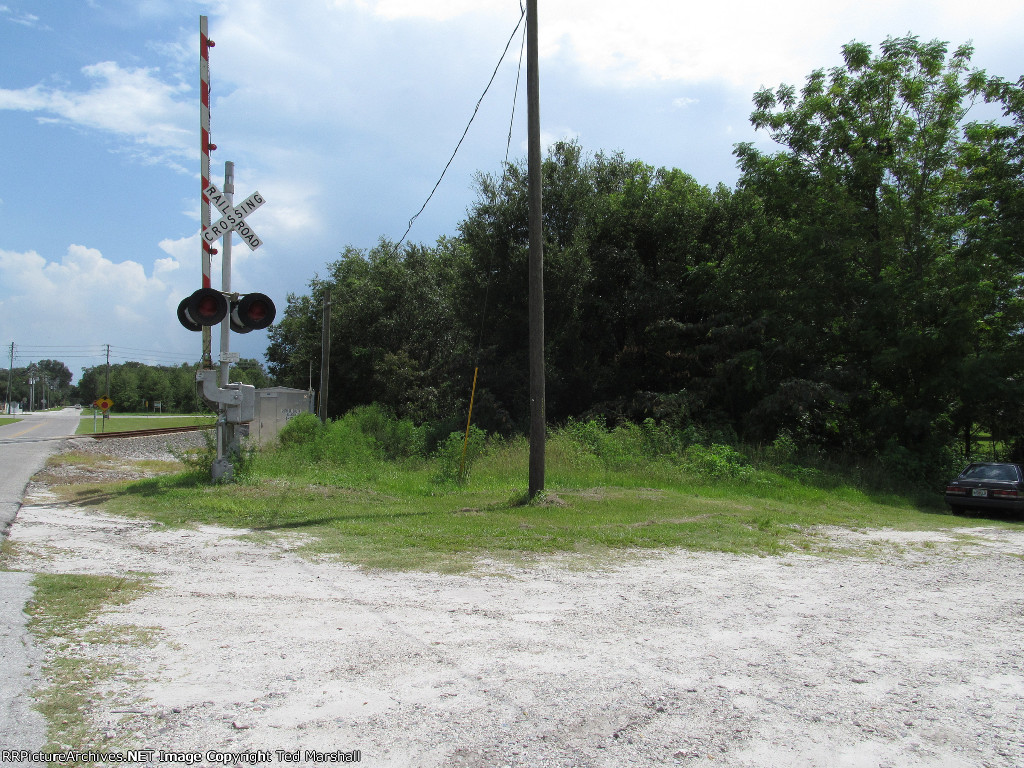
| Looking South from approximately the spot where the the old ACL/SAL diamond was located. The curved track on the left was built in the 1980s to connect the Coast Line (behind) and Seaboard (ahead) tracks as a single line and each opposing track was pulled up. |
| Date:
8/10/2012 |
Location:
Zephyrhills, FL Map  |
Views:
55 |
Collection Of:
  Ted Marshall
 |
|
Author: Ted Marshall
|
 |
| Picture Categories: Track |
This picture is part of album: Zephyrhills, Florida |