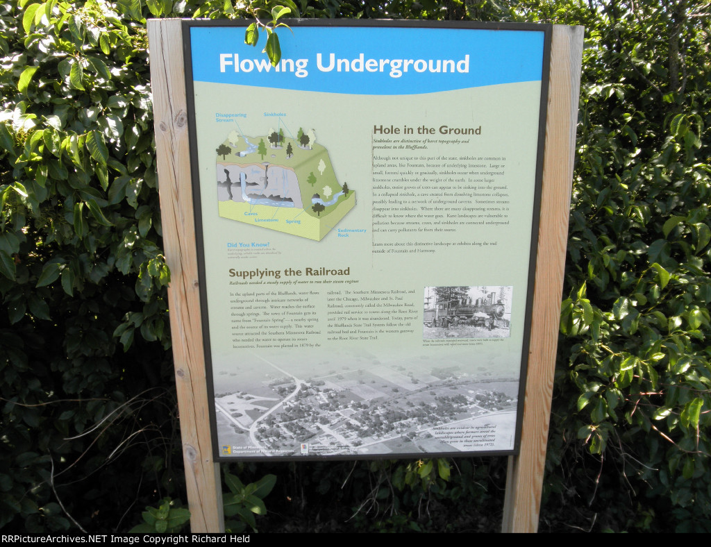
| The aerial photo on this historical display near the Fountain trail head for the Root River State Trail gives a fine look at how the Milwaukee Road's Southern Minnesota line passed through town. |
| Date:
6/16/2015 |
Location:
Fountain, MN Map  |
Views:
196 |
Collection Of:
  Tony Held
 |
|
Author: Richard Held
|
 |
| Picture Categories: |
This picture is part of album: Railway Archeology: Vol. 2 |