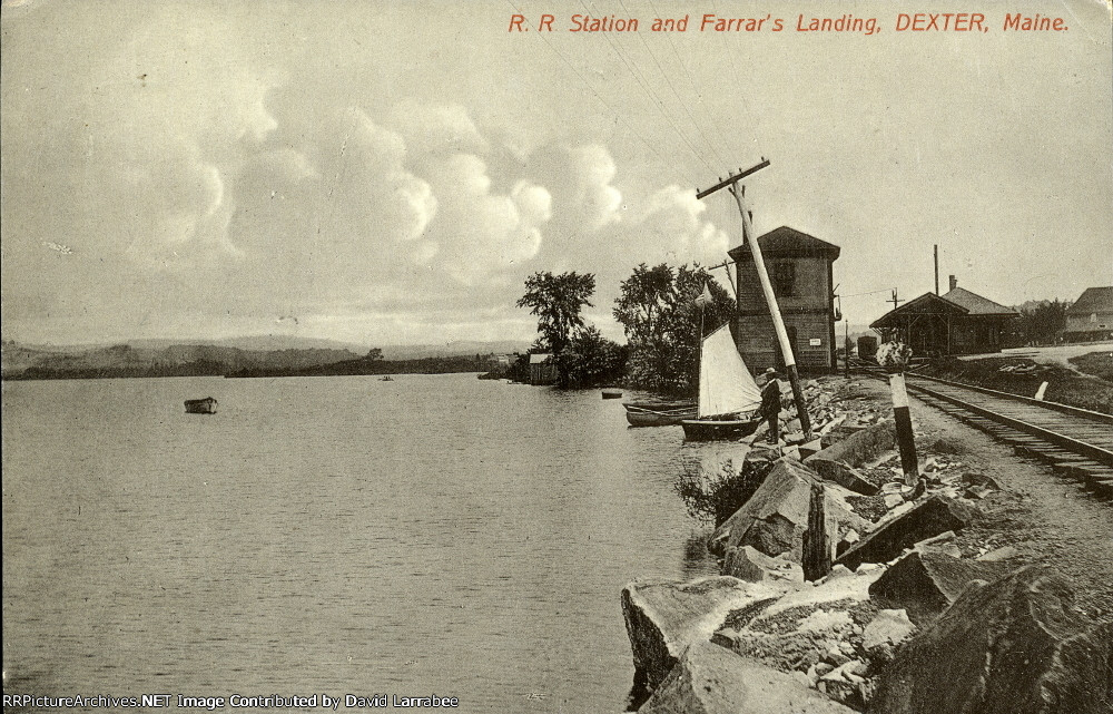
| No date or other info with this old Photo Post Card. Water tower & station in this scene looking eastbound (mostly north on a map) towards Dover Foxcroft and the BAR interchange just over 14 miles away. The body of water is Lake Wassookeag. /DL |
| Date:
8/1/1920 |
Location:
Dexter, ME Map  |
Views:
141 |
Collection Of:
  David Larrabee
 |
|
Author: David Larrabee
|
 |
| Picture Categories: Station,Track |
This picture is part of album: Maine Central The Dover-Foxcroft Branch |