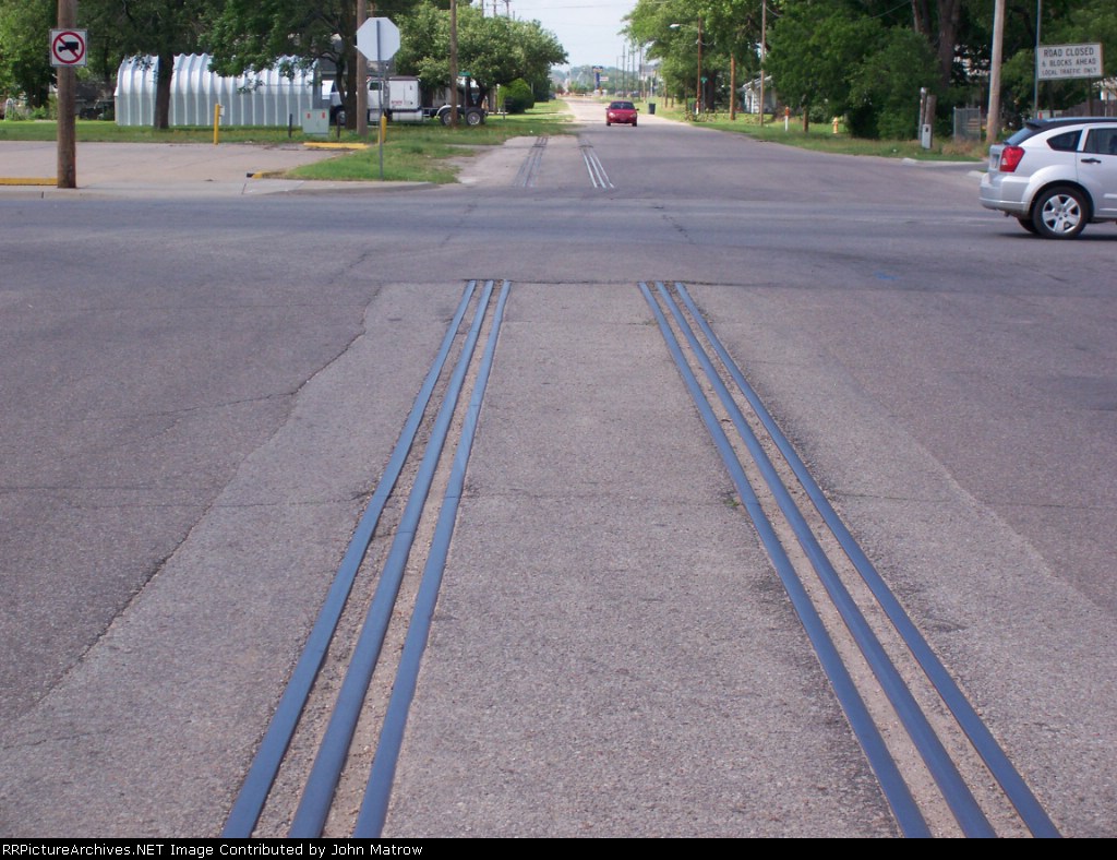
| Looking N at what's left of the RI lead to the state fairgrounds. It continued to 11th and turned NW on abandoned ROW |
| Date:
6/17/2007 |
Location:
Hutchinson, KS Map  |
Views:
210 |
Collection Of:
  John Matrow
 |
|
Author: John Matrow
|
 |
| Picture Categories: |
This picture is part of album: UP SW to Hutchinson KS |